Your Property Title Deed – A Short History
- Jul
- 18
“South Africa has, without doubt, the finest comprehensive system of Deeds Registry and Topographical Survey in the World.” — Graham McIntosh, former South African farmer, businessman and retired politician.
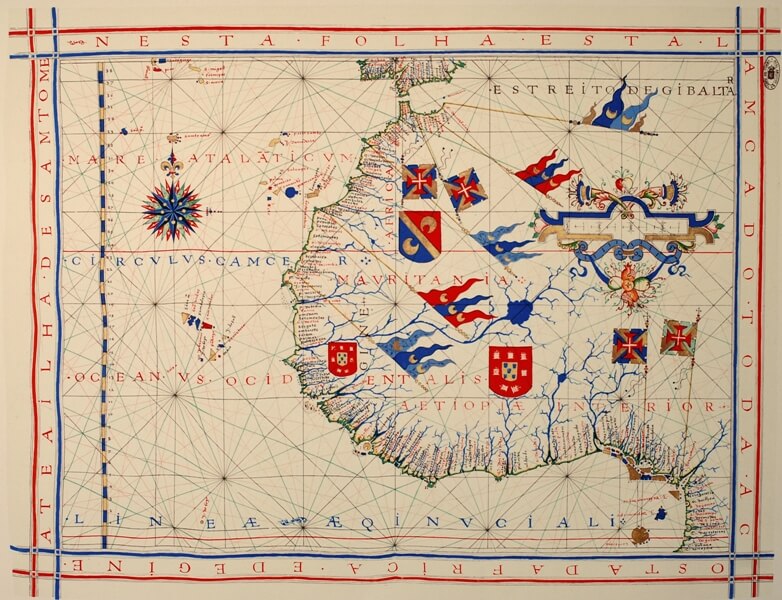
A pre-Mercator nautical chart of 1571, from Portuguese cartographer Fernao Vaz Dourado (c. 1520–c. 1580).
South Africa is blessed with one of the finest property title deed registration systems anywhere in the world, based on the drawing up and registration of a property title deed in the Deeds Registry.
A title deed defines proof of ownership and records details of the property, including any servitude or condition, and the purchase price. When ownership of a property changes hands, an original title deed is registered in the buyer’s name in the deeds office.
When the Dutch East India Company established itself at the Cape of Good Hope in 1652, the Company assigned land without first having it surveyed.
With the arrival of more settlers at the Cape, the Dutch administrators introduced a Land Registry system fashioned after the model then in use in the Netherlands. For every grant of land, a title deed was accompanied by a diagram showing its boundaries and area. Most land grants were roughly circular in shape with a radius of 750 Rhineland roods (about 4km) and the radius was determined by pacing a walk with the centre focussed on a prominent landmark or the homestead.
This system had many shortcomings: maps were compiled by fitting together diagrams on a trial and error basis using imagination, guesswork and even omission where necessary.
The first survey operation in South Africa was the measurement of a short arc of meridian in the Cape district by the Abbè de la Caille, in 1752. This was the first meridian arc measured in the Southern Hemisphere.
In 1876 the Surveyor-General’s annual report of 1876 describes the state of mapping as follows:
“From surveys, from military sketches with the plane-table, the pocket sextant, and pacing, and paid for at the rate of eight pence per square mile, and from haphazard guess work of such a description that most of the towns and villages of this extensive Colony occupy places on the published maps utterly irreconcilable with their position in latitude and longitude.”
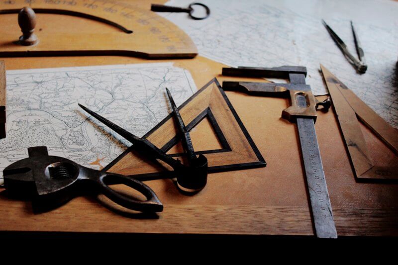
A Collection of cartography instruments
Towards the end of the 19th century Sir David Gill, His Majesty’s Astronomer at the Cape from 1879 to 1907, pressed ahead with a project to undertake the primary triangulation of the entire country to provide a foundation on which all future mapping could be based. The Land Survey Act of 1927 made provision for a Survey Board to administer and facilitate the official surveying and mapping of the country.
With great accuracy, a couple of centimetres error over hundreds of kilometres, theodolite measurements were made of all prominent features with reference to the trigonometrical survey beacons.
By 1936 the primary triangulation had covered the main developing areas of South Africa and secondary triangulation by practicing land surveyors was set to commence.
In the same year the Place Names Committee (PNC) was formed for the purpose of standardizing the spelling of names of railway stations and post offices. Every place name in the whole country had to be processed from evidence collected by field staff. Trigsurvey field staff had to become linguists as they were required to communicate in many different languages to ensure accuracy of spelling of the names.
Digital Electronic Theodolite
Surveying techniques and the design of instruments changed little up until the late 1950’s when electronics started to have a major impact on instrument design and saw the introduction of satellite based positioning techniques, and especially GPS, to the world of geodesy and surveying.
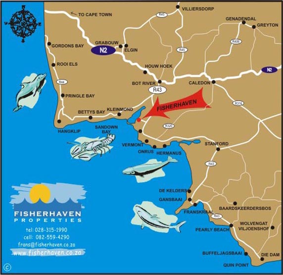
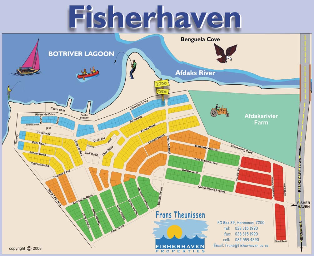
With over 30 years of experience as an estate agent, Frans Theunissen of Fisherhaven Properties has brought many successful transactions to the table. Frans has the know-how to help guide both buyers and sellers throughout the process and he is available anytime to answer questions about the transfer process including anything you might wish to know about Title Deeds.
Sources: Land reform and the Deeds Office | Politicsweb; History – Department of Rural Development and Land Reform.
Recent Posts
- The Pros And Cons Of Solar Power
- 3 Things Private Sellers Wish they Knew (That Estate Agents Do!)
- Top 5 Tips For Sellers in a Buyers’ Market
- Top 5 Tips For Buyers In A Buyers’ Market
- Your Property Title Deed – A Short History
Contact Us
Fisherhaven Properties
Frans Theunissen
Tel: 082 559 4290
Tel: 028 315 1990
Fax: 086 660 4823
info@fisherhaven.co.za

Please ask us about long-term property rentals in the area.